Software System Overview
Overall Software Description
The MetWebGIS system is a Web-based WAFS system based on the client-server design model. On the server side, all the data are automatically fetched from the WAFS sources such as WIFS or SADIS via the Internet. As soon as data are fetched onto the server, data processsing and ingestion are then performed to prepare, database and enable them for use by the Web application. The front-end WebGIS application is fully web-based which allows its Graphical User Interface to run from an ordinary browser on any client computer connected to the same network.
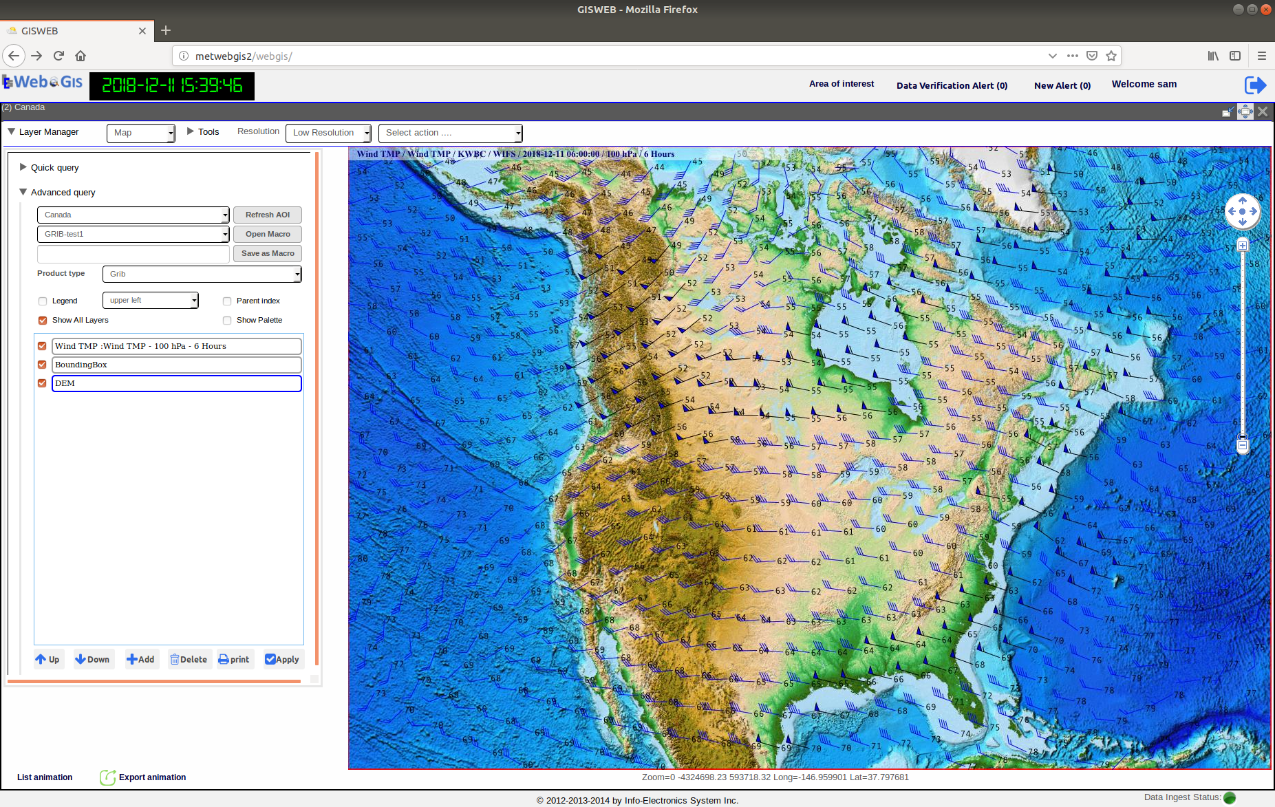
Fig. 1 Graphical User Interface of WebGIS running from the Firefox browser.
The WebGIS software has a variety of applications in the area of hydrology, metetrology and environment, where users need to display data from different sources and formats for weather conditions and event assessment, analysis, monitoring and tracking. In general, the software supprts the following main functions:
- Data Ingest and Processing
- Databasing and Querying
- Rendering and Visualization
- Analysis Tools
- Web Publishing and Distribution